What We Do For Your Farm
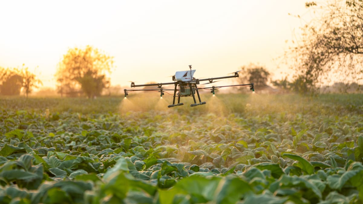
Three ways we help you grow more, spend less, and keep your herbicides working, all delivered by drone.
Field Intelligence Subscription
Regular drone flights over your fields that show you crop health, weed pressure, water issues, and nutrient problems, delivered as easy-to-read maps on your dashboard. Think of it as a full checkup for your fields, every few weeks, all season long.
- Crop health maps that spot stress early
- Water and drainage problem detection
- Nutrient deficiency identification
- Weed pressure mapping
- Harvest yield forecasting
- Insurance-ready field documentation
$8 to $20/acre annually
Get a Quote
Targeted Drone Application
When Roundup stops working, spraying more isn't the answer. Our DJI Agras T50 drones apply treatments only where weeds are, and our biological partners at Biodel Ag and ONIT have developed products that make resistant weeds respond to herbicides again. Less chemical, better results, and your herbicides stay effective longer.
- Biological treatments that restore herbicide effectiveness
- Spray only where weeds are and skip the clean areas
- Foliar feeding and nutrient delivery
- Biological and organic-compatible applications
- Emergency treatment for sudden outbreaks
$15 to $35/acre
Schedule a Deployment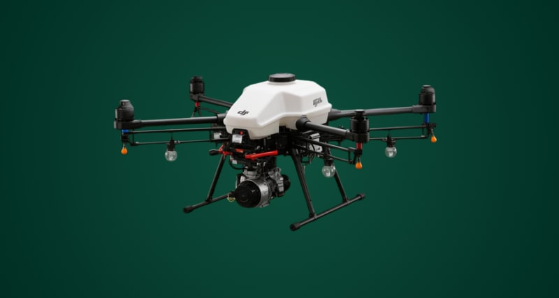
Data Licensing and Partnerships
The field data we collect for you has value beyond your farm. With your permission, anonymized data can support crop insurance programs, university research, and agricultural AI development, creating an additional revenue stream from information you're already generating.
- Crop insurance data partnerships
- University and research collaborations
- Soil health studies
- AI and machine learning training data
- Water usage and compliance reporting
Custom pricing
Partner With Us