Smarter Field Application. Stronger Crop Performance.


You're Spending More on Inputs and Getting Less From Every Acre
Growers are facing more complex field conditions, rising input costs, and increasing pressure to improve application efficiency.
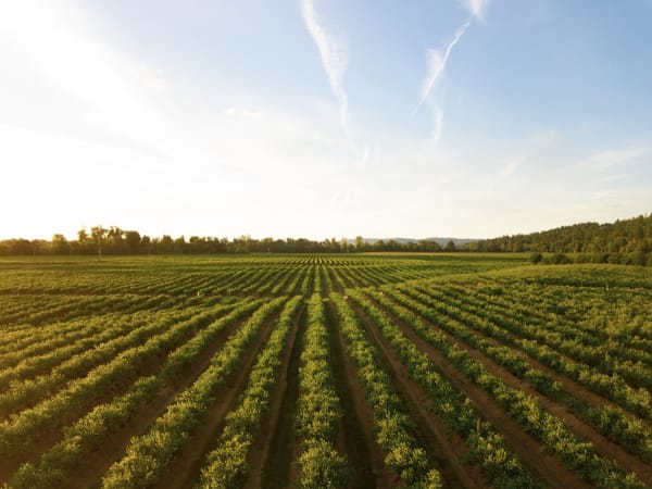
See Your Fields
We fly drones that map crop health, crop stress, and field variability so you don't have to spot it from the ground. You get a clear picture of every acre, every few weeks.
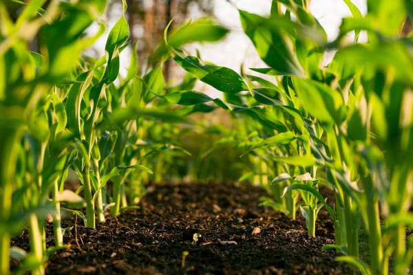
Spray Only What Needs It
Our drones apply product only where it's needed. The rest of your field stays untouched. Better coverage, lower input cost, and more consistent field-level performance.
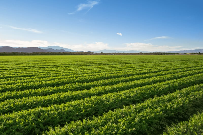
Improve Field Level Application Performance
Bio-based application support strengthens spray coverage, plant performance, and field consistency within your existing program. No new chemistry, just smarter application and stronger field-level results.
These Aren't Projections, They're Harvest Numbers
Real data from commercial farms in Idaho and across our operating regions. Verified by the growers who saw the results.
Yield increase on Idaho potatoes
17%
Extra production per acre on peas
400lbs
Acres covered per hour
100+
When input costs keep climbing and field conditions get tougher, the farms that thrive are the ones that apply smarter, not harder.
The Hardware Behind Every Acre
Purpose-built drones for spraying, mapping, and scouting, designed to cover more ground, use less product, and give you a clear picture of what's happening in your fields.
Explore Fleet
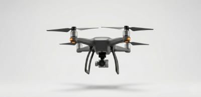
AG AI PRO T-50
The T-50 precision drone is built for targeted spray, foliar applications, and targeted input deployment across mid-scale operations.
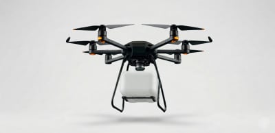
TITAN 100
The TITAN 100 heavy lift platform handles 100L spray tank, 100kg payload for large scale commercial contract operations.
AgriScout S-10
Our dedicated survey and mapping drone for NDVI crop stress analysis, water optimization data, and yield forecasting intelligence.
What Our Drones Actually Do For Your Farm
Tell the drone where to go and it handles the rest. It maps your field, avoids obstacles like power lines and trees, and flies every row with GPS-level accuracy. No gaps, no overlap, no wasted time.
From the Field: What's Working in Precision Ag
Practical articles on drone technology, crop stress, field monitoring, and what real farms are seeing when they switch to precision application.
Explore More