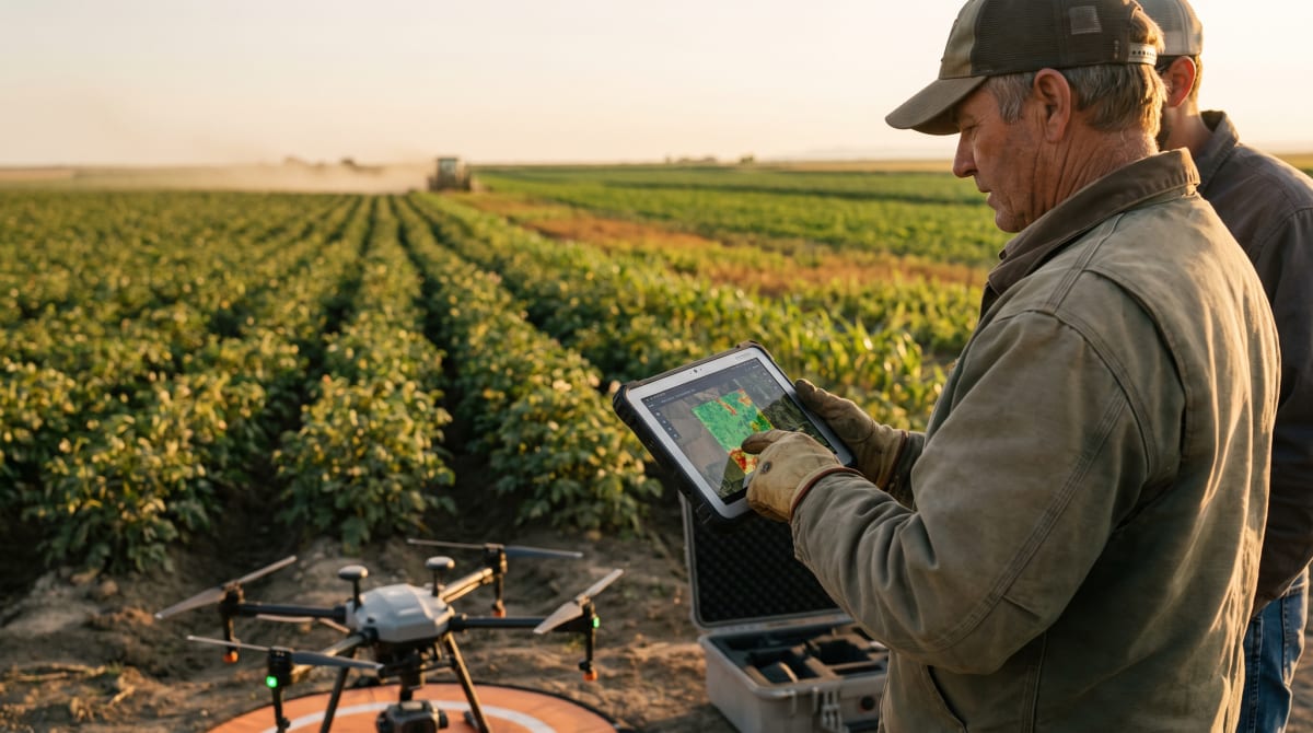
From Overhead Scan to On-the-Ground Decision
AI-driven satellite imagery has seen a leap forward in 2026 with the debut of super-resolution processing, bringing the detail of widely available satellite images down to a true 1-meter resolution. According to Lanny Faleide of SatShot, this advance equips agronomists and growers with a sharper, more actionable window into field variability, crop damage, and management zones than has previously been possible without aircraft or drones.
For growers managing large acreages where budget or logistics make field-by-field or drone-by-drone coverage impractical, these enhanced satellite images let you see signs of stress, application misses, and other issues with enough detail to make site-specific decisions. Faleide describes it as a game-changer that “helps users identify field variability, crop damage, application issues, and management zones with unprecedented detail from virtually anywhere in the world.”
1-Meter Resolution and Its Field Applications
The practical impact of advancing from older, coarser satellite imagery (often 3 to 10 meter per pixel) to super-resolved 1-meter data is significant. At 1-meter, a grower can see:
- Clear boundaries of crop-affected areas,
- Row-to-row irregularities,
- Outages or skips in seeding or application,
- Damage post-storm or pest event that would have blurred together at a lower resolution.
For example, in a potato operation in Idaho or a specialty crop field in Hawaii, the ability to spot variabilities that mirror those found with drone flyovers, without actually deploying hardware, can greatly streamline field scouting. As detailed in the article, this level of imagery supports not only general monitoring but can underpin site-specific NDVI and vigor analysis, water stress detection, and even guide drone-enabled interventions. It integrates directly into precision application support workflows, narrowing down target zones and optimizing drone fleet tasking.
Beyond NDVI: Layering Intelligence for Management Decisions
Traditional NDVI and similar vegetation indices remain foundational for spotting seasonal variability, but AI-enhanced satellite imagery reveals patterns that legacy remote sensing might miss. Where previous methods could show areas of stress, AI-driven processes are now flagging the same problems with finer granularity, often distinguishing between hardware error (an application miss) and field-scale stress (such as waterlogging or nutrient deficiency) by the distinct shapes and edges visible at 1-meter scale.
As the article points out, identifying “field variability, crop damage, application issues, and management zones” is not just for end-of-season assessment or crop insurance. It is now possible to integrate these findings into season-over-season field documentation, creating a much more granular record that backs up both operational changes and regulatory or insurance claims with visual evidence. This is especially relevant for row crop and specialty growers operating across variable microclimates or diverse management blocks, common in regions like Arizona and Hawaii.
Integrating Satellite and In-Field Data Streams
Drone imagery and ground scouting still offer unbeatable resolution and timeliness for spot issues, but AI-enhanced satellite feeds multiply the scale at which precision operations become feasible. This makes it easier to allocate drone and crew resources, when satellite imagery marks a target, drone fleets can then be dispatched for highly detailed follow-up or for precision application patches, maximizing ROI per flight.
Faleide and SatShot argue this kind of technology “supports crop scouting, variable-rate management, crop insurance investigations, and agronomic decision-making by revealing patterns that traditional remote sensing methods may miss.” For example, after a wind or hail event, satellite super-resolution can scope damage across tens of thousands of acres, triaging the need for on-the-ground verification and assisting in documenting loss for policy claims.
Implications for Scalable Field Management
This progress has knock-on benefits for managing partners and advisors too. For organizations and retailers working across multiple growers, rapid territory-wide assessments become possible on demand, refining both logistics and risk evaluation. It aligns directly with industry calls, featured elsewhere in the trade press, for data platforms that streamline agronomic recommendations into reality across the “last mile” of delivery.
As weather volatility increases and markets demand more stringent traceability and proof of management, having access to scalable, AI-enhanced satellite intelligence will be a practical necessity, not just a tech upgrade. The technology essentially closes the loop between remote field sensing and confident in-field action, supporting everything from optimized drone mapping schedules to regulatory recordkeeping and input reporting.
What Next for Field Operators
While drone fleets remain critical for ultra-high-resolution mapping and targeted intervention, the advance of 1-meter AI-enhanced satellite imagery reduces barriers to floor-to-ceiling digital field visibility. As the availability and speed of these tools increase, growers will want to think about integrating satellite, drone, and on-ground data into a unified record, the foundation for smarter, seasonally adaptive management.
The landscape for actionable imagery products continues to shift, but the core advantage for growers is clear: with the right data, precision management moves out of the lab and into everyday field decisions, spanning entire farms instead of just focus blocks.